Projects

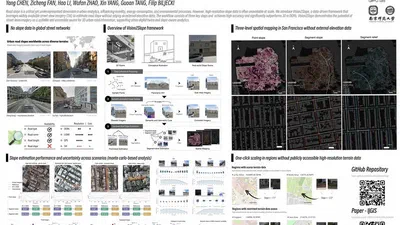
Vision2Slope: estimating urban road slopes with street view imagery featured image

Vision2Slope: estimating urban road slopes with street view imagery

Vision2Slope is an open framework that estimates urban road slopes from panoramic street view imagery using computer vision. It projects panoramas into road-aligned views, corrects …

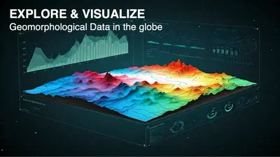
Deep-Time Digital Earth Geomorphology Project featured image

Deep-Time Digital Earth Geomorphology Project

The DDE Geomorphology System, part of the Deep-Time Digital Earth (DDE) programme, is a WebGIS portal that helps geomorphologists download, analyze and visualize geomorphological …

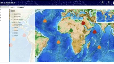
Marine Polymetallic Mineral Data Management System featured image

Marine Polymetallic Mineral Data Management System

A WebGIS-based management system for marine polymetallic mineral data. The system stores and organizes semi-structured survey and sample data of marine polymetallic minerals, and …