Deep-Time Digital Earth Geomorphology Project
May 1, 2022
·
1 min read
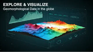
The DDE Geomorphology System, part of the Deep-Time Digital Earth (DDE) programme, is a WebGIS portal that helps geomorphologists download, analyze and visualize geomorphological data. It brings together landform analysis tools and datasets such as the Global Basic Landform Units (GBLU).
