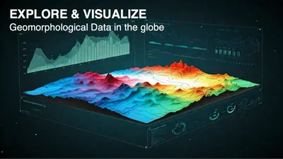
Deep-Time Digital Earth Geomorphology Project
The DDE Geomorphology System, part of the Deep-Time Digital Earth (DDE) programme, is a WebGIS portal that helps geomorphologists download, analyze and visualize geomorphological …
•
1 min read
The DDE Geomorphology System, part of the Deep-Time Digital Earth (DDE) programme, is a WebGIS portal that helps geomorphologists download, analyze and visualize geomorphological …
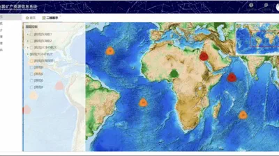
A WebGIS-based management system for marine polymetallic mineral data. The system stores and organizes semi-structured survey and sample data of marine polymetallic minerals, and …